GPS Display on Excavators

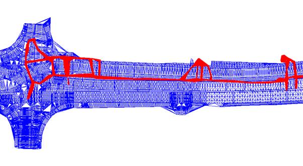

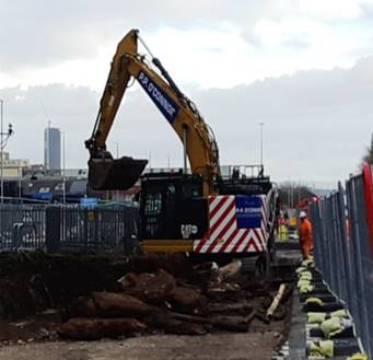
The large excavators on MPact-Thales are able to use GPS to maintain line and level control.
Alongside the excavation model, MPact-Thales have developed a method for importing the utilities AutoCAD model into the excavator’s GPS display enabling operators to have a clear visualisation of the services within the areas they are working.
These serve as a constant reminder of the potential risks services pose and provide a real time accurate service location in relation to the excavator’s bucket.
Footer Reference
Monitor Report. MPact-Thales. Manchester. July 2019.
Did you find this article helpful?
Please rate this article
 (0 votes, average: 0.00 out of 5)
You need to be a registered member to rate this.
About this entry
About the author
CCS Best Practice Hub Administrator
Research Assistant
Entries by this author 63
View all entries by CCS Best Practice Hub Administrator
Company Information
Considerate Constructors Scheme
www.ccsbestpractice.org.uk
The Scheme does not promote or endorse any products, goods or services. For more information, click here.