Utility Information Provided on GPS Excavators

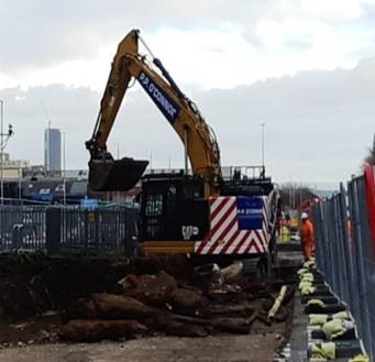

The large excavators on MPT are able to use GPS to maintain line and level control.
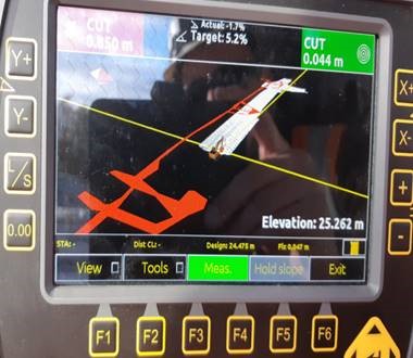
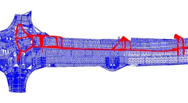
Alongside the excavation model, MPT have developed a method for importing the utility’s AutoCAD model into the excavator’s GPS display enabling operators to have a clear visualisation of the services within the areas they are working.
These serve as a constant reminder of the potential risks services pose and provide a real time accurate service location in relation to the excavator’s bucket.
Footer Reference
Entry submitted by MPT
Did you find this article helpful?
Please rate this article
 (0 votes, average: 0.00 out of 5)
You need to be a registered member to rate this.
About this entry
About the author
Andrew Hawkes
Utilities Engineer
Entries by this author 3
View all entries by Andrew Hawkes
Company Information

MPT
The Scheme does not promote or endorse any products, goods or services. For more information, click here.