GPS Utility Locator and Recorder

This contractor implemented the RTK-Pro GPS Utility Locator and Recorder which is designed for use at all operator levels, utilising user-friendly and intuitive locate screens.

Operators simply confirm the utility data with the press of a button and align the electronic spirit level to store the data. All field data is sent to the cloud and retained in the receivers onboard storage for review and exporting to external mapping programs.

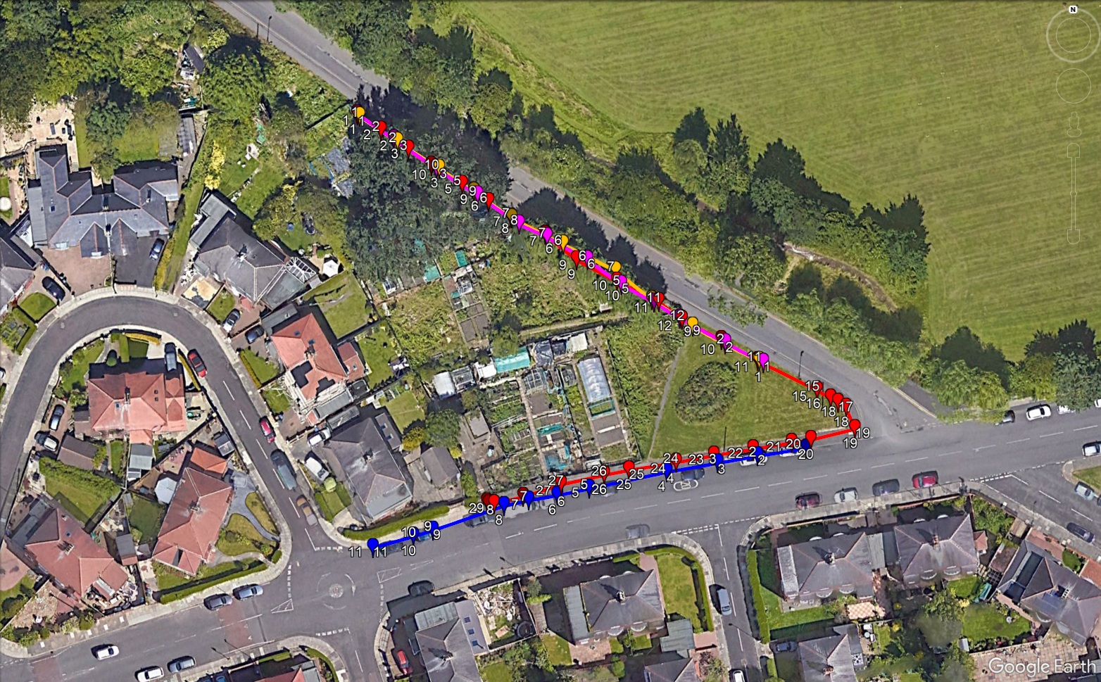
Traditional methods of buried services and utility mapping requires the use of an experience setting out engineer with costly surveying equipment. The RTK can be used by anyone who has been given a short training session on its use. The data can be logged and saved on Google Earth so anyone in the field can access the survey information.

Traditional techniques would have involved expensive CAD software, managed by the site setting out engineer. The RTK gives the information to the operatives that need it using their phone or tablet.

To find out more, click the link below.

Go to resource


Footer Reference

Information provided by BAM Construction Ltd


Did you find this article helpful?

Please rate this article

0 votes, average: 0.00 out of 50 votes, average: 0.00 out of 50 votes, average: 0.00 out of 50 votes, average: 0.00 out of 50 votes, average: 0.00 out of 5 (0 votes, average: 0.00 out of 5)
You need to be a registered member to rate this.
Loading...

Leave a comment

Return to previous page

The Scheme does not promote or endorse any products, goods or services. For more information, click here.

The Best Practice Hub is provided by the Considerate Constructors Scheme