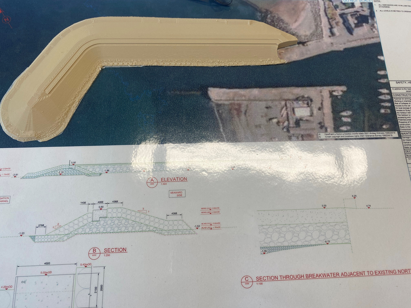
Utilising a Drone with Propeller Analysis for BIM

This contractor implemented 3D digital modelling (BIM) to map out the complex coastal terrain and plan the placement of armor units with millimetre precision.

They utilised a drone which flies a pre-set route which takes a a very accurate point cloud survey. This is used to programme the works, calculate volumes of works completed and void rations in the rock armour.

With this information they can accurately quantify the use of materials and remaining material to order which reduces waste and allows us to order in line with production rather than having material stockpiled with could potentially be spoiled. They also use the information for measurement and application purposes and in briefings and meetings to show real time progress and work areas on site.

This improved construction accuracy, reduced material waste, and allowed for better co-ordination with stakeholders and designers.

Footer Reference

Information provided by BAM Nuttall Ltd


Did you find this article helpful?

Please rate this article

0 votes, average: 0.00 out of 50 votes, average: 0.00 out of 50 votes, average: 0.00 out of 50 votes, average: 0.00 out of 50 votes, average: 0.00 out of 5 (0 votes, average: 0.00 out of 5)
You need to be a registered member to rate this.
Loading...

Leave a comment

Return to previous page

The Scheme does not promote or endorse any products, goods or services. For more information, click here.

The Best Practice Hub is provided by the Considerate Constructors Scheme